36.1°N 112.1°WGrand Canyon, Arizona
Two sets of forces
Internal forces come from inside Earth. The movement of tectonic plates folds rock into mountains, cracks it along faults and feeds volcanoes. External forces work on the surface. Weathering breaks rock into pieces, and erosion by rivers, glaciers, wind and waves carries the pieces away and drops them somewhere else. Most landscapes show both at work.
The main landforms
| Landform | What it is | Usually formed by |
|---|---|---|
| Mountain | High ground with steep slopes rising well above its surroundings | Plate collision, faulting or volcanoes |
| Hill | Raised ground, lower and gentler than a mountain | Erosion of older uplands, glacial deposits |
| Plateau | A wide, high, fairly flat area with steep edges | Uplift of large blocks, lava flows |
| Plain | Wide, low, flat or gently rolling land | River deposits, old sea floors |
| Valley | Low ground between hills or mountains | Rivers (V-shaped) or glaciers (U-shaped) |
| Canyon | A deep, narrow valley with steep walls | A river cutting down through rising rock |
| Mesa and butte | Flat-topped hills with cliff sides; a butte is the smaller one | Erosion leaving hard caprock |
| Delta | A fan of sediment at a river mouth | River deposition where flow slows |
| Dune | A hill or ridge of sand | Wind |
Shaped by running water
Rivers are the most widespread sculptors of land. In steep uplands they cut downward and make V-shaped valleys. Where rock is rising slowly and a river keeps cutting, a canyon forms. The Grand Canyon, carved by the Colorado River, is about 1.6 km (1 mile) deep in places. Downstream, rivers spread sediment across floodplains and build deltas. The rivers post follows that journey.
Shaped by ice
Glaciers are slow, heavy and full of rock, and they grind valleys into a broad U shape. Where glaciers met the sea and later melted, the sea flooded the valleys to make fjords, as along the coast of Norway. Glaciers also scoop out bowl-shaped hollows called cirques and leave ridges of rubble called moraines where they stop or retreat.
Shaped by wind
Wind moves sand and dust, building dunes and scouring rock. Sand seas are less common than films suggest: most of the world's desert area is rock, gravel or bare ground, with dunes covering only a minority of it.
Shaped by waves
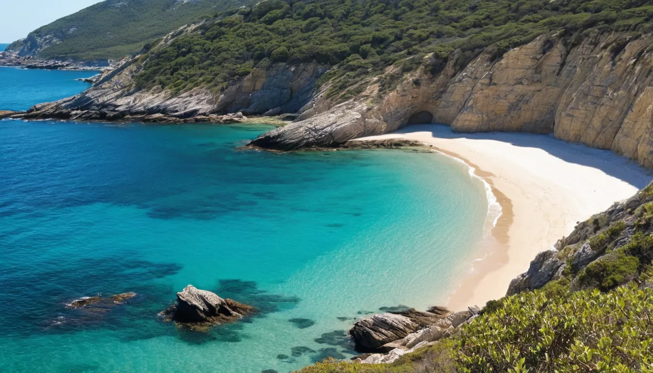
Waves attack cliffs at their base, undercutting them until the rock above collapses. Headlands of harder rock can be worn into caves, then arches, then stand-alone sea stacks. Along gentler shores, waves and currents carry sand along the coast to build beaches and spits.
Shaped by dissolving rock
Rainwater is slightly acidic, and over long periods it dissolves limestone. The result is karst: landscapes with sinkholes, caves, underground rivers and springs. Water may vanish from the surface in one place and reappear kilometers away.
Seeing landforms on a map
Each of these features has a fingerprint in contour lines: crowded lines for cliffs and canyon walls, a wide empty top for a plateau, V shapes for river valleys. Practice with the topographic map guide, and see mountain ranges for how the largest landforms rise.
Landform FAQ
What is the difference between a hill and a mountain?
There is no single agreed height. Mountains are generally higher, steeper and more prominent. Different countries and mapping agencies use different rules of thumb.
How can I tell if a valley was made by a river or a glacier?
River valleys tend to be V-shaped with a winding floor. Glacial valleys are U-shaped with steep sides and a wide, flat floor, often with smaller hanging valleys high on their walls.
Are landforms still changing?
Yes. Most change too slowly to notice in a lifetime, but landslides, floods, eruptions and cliff falls can reshape a place in hours.