46.9°N 121.8°WMount Rainier, Washington
What a contour line is
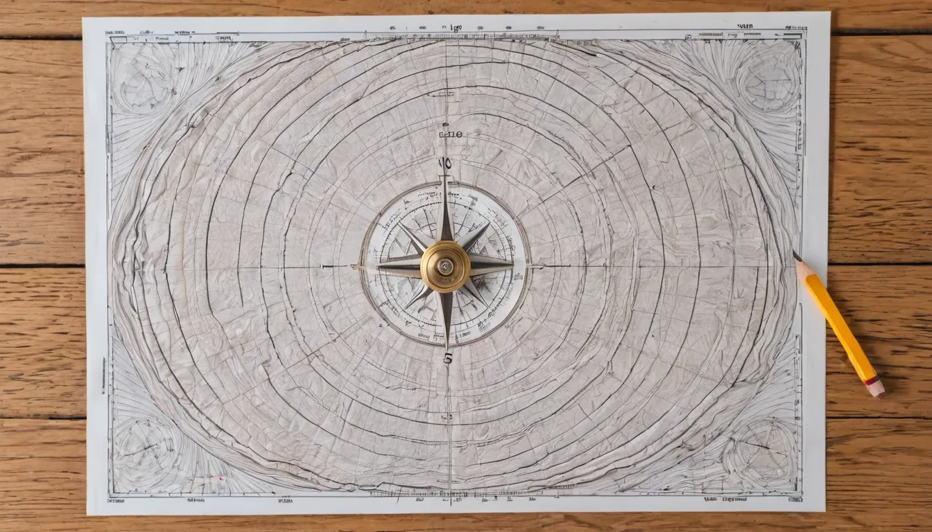
A contour line joins points at the same height above sea level. Imagine slicing a hill horizontally every 10 meters and looking down from above: the edges of the slices are the contour lines. The pattern on the card art across this site works the same way.
The rules of contour lines
- Every point on one line is at the same elevation.
- Lines never cross or split. They can merge where there is a vertical cliff.
- Every line eventually closes on itself, though often off the edge of the sheet.
- Close spacing means steep ground. Wide spacing means gentle ground.
- A small closed loop marks a hilltop. If it has short tick marks pointing inward, it marks a hollow instead.
- Where a line crosses a stream, it bends into a V or U that points upstream.
Contour interval and index contours
The contour interval is the height difference between neighboring lines. It is printed in the map margin and varies by sheet: flat areas get small intervals, mountains get larger ones. Every fifth line is usually drawn thicker and labeled with its height. These are index contours, and they let you count up or down quickly without reading every line.
To find a height, find the nearest index contour, then count lines and multiply by the interval. If you are between lines, estimate. Spot heights, printed as a dot with a number, give exact figures for summits and some road junctions.
Reading landforms from the pattern
| Feature | What the lines look like |
|---|---|
| Hill or summit | Rings getting smaller toward a closed loop at the top |
| Valley | V or U shapes pointing uphill, often with a stream through the point |
| Ridge or spur | V or U shapes pointing downhill |
| Saddle (pass) | An hourglass shape between two hilltops |
| Cliff | Lines crowded together or merging, often with a cliff symbol |
| Plateau | Steep, close lines around the edge with a wide, empty top |
| Depression | A closed loop with ticks pointing inward |
Valleys and ridges are the pair that confuse beginners most. Find water first: streams run along valley floors, so the V that holds a blue line points uphill. The landforms post explains how these features form.
A five-minute practice routine
- Find the contour interval in the margin.
- Pick a summit and read its spot height.
- Follow a stream downhill and watch the V shapes point back up it.
- Pick two routes to the summit and compare how close the lines are on each. The one with wider spacing is the easier climb.
- Check your reading against a terrain or satellite view of the same place.
Common topographic map series
In the United States, the US Geological Survey's 7.5-minute quadrangles are at 1:24,000. In Britain, Ordnance Survey publishes walking maps at 1:25,000 and 1:50,000. Many countries have a national survey with similar series. The map reading basics post covers scale, grids and compass work on these maps.
Topographic map FAQ
What does "topographic" mean?
It describes the shape and features of the land surface. A topographic map shows relief with contour lines along with rivers, roads, buildings and vegetation.
How can I tell if a slope goes up or down?
Read the numbers on the index contours, look for spot heights, or find a stream: water always runs downhill, and the contour V's point upstream.
Why do contour lines never cross?
A single point cannot have two different heights. The only exception is an overhanging cliff, which is rare and usually shown with a cliff symbol instead.